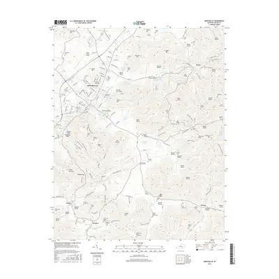
2016 Map of Monticello
USGS Topo · Published 2016About this map
Monticello serves as the focal point of this Wayne County landscape, situated at the confluence of several significant local arteries including Airport Rd and College St. To its north, the Wayne County Airport sits atop a rise near Bartleson Hill, while the surrounding countryside is defined by a dense concentration of family-named cemeteries and landmarks that reflect generations of local residency. Notable genealogical sites such as the Hardin and Martha Coffey Cem and the Andrew Jackson Roberts Cem are found south of Oil Valley, a small community situated near Burnett Hollow.
Find a feature on this map
161 named features on this map. Tap any name to fly to it.
Don’t see what you’re looking for? This feature index may not catch every label — zoom into the map to look around manually.
Map Details
Editions of this 2016 Monticello Map
This is the sole edition of this map. No revisions or reprints were ever made.
Other maps of this area
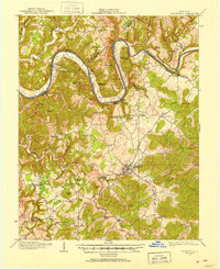
1911 · Monticello
USGS Topo · 1:62,500
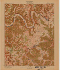
1914 · Monticello
USGS Topo · 1:62,500
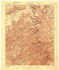
1932 · Burnside
USGS Topo · 1:62,500
1934 · Barthell
USGS Topo · 1:62,500
1934 · Pall Mall
USGS Topo · 1:62,500
1953 · Frazer
USGS Topo · 1:24,000
1953 · Parnell
USGS Topo · 1:24,000
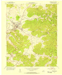
1953 · Monticello
USGS Topo · 1:24,000
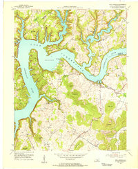
1953 · Mill Springs
USGS Topo · 1:24,000
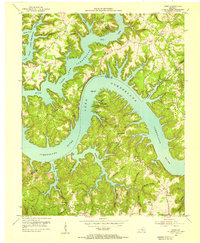
1954 · Jabez
USGS Topo · 1:24,000