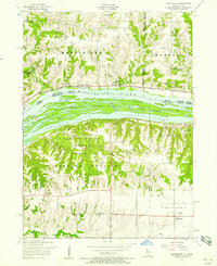
1953 Map of Montpelier
USGS Topo · Published 1958About this map
The Mississippi River dominates this mid-century landscape, acting as a natural boundary between Iowa and Illinois. In Muscatine County, Iowa, the Old Pine Creek Mill stands within Wildcat Den State Park, a preserved fragment of early industrial history near the banks of Pine Creek. Across the water in Rock Island County, Illinois, the terrain rises into the Loud Thunder Forest Preserve, characterized by wooded ridges and the Fort Armstrong Boy Scout Camp. The agricultural character of the region is evidenced by numerous rural education centers like Hazel Dell School and Green Bush School, along with the Buffalo Prairie Town Hall. Transportation patterns are anchored by the Chicago Rock Island and Pacific railroad and the Andalusia Road, while the river itself features a complex network of side channels like Velie Chute and the Andalusia Slough.
Find a feature on this map
45 named features on this map. Tap any name to fly to it.
Don’t see what you’re looking for? This feature index may not catch every label — zoom into the map to look around manually.
Map Details
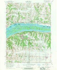
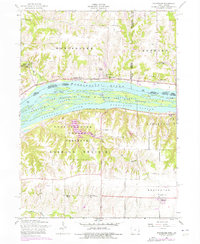
Editions of this 1953 Montpelier Map
3 editions found
Other maps of this area

1890 · Durant
USGS Topo · 1:62,500

1891 · Davenport
USGS Topo · 1:62,500

1894 · Durant
USGS Topo · 1:62,500

1894 · Davenport
USGS Topo · 1:62,500

1901 · Rock Island
USGS Topo · 1:125,000

1910 · Rock Island
USGS Topo · 1:125,000

1912 · Milan
USGS Topo · 1:62,500

1916 · Edgington
USGS Topo · 1:62,500

1938 · Edgington
USGS Topo · 1:62,500

1944 · Milan
USGS Topo · 1:62,500