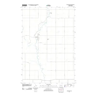
2011 Map of Montpelier
USGS Topo · Published 2011About this map
Montpelier serves as the central hub of this North Dakota landscape, situated where the meandering James River meets a structured grid of rural section roads. The settlement’s small-town footprint is clearly defined by local thoroughfares such as Main St and 1st St, while its community history is preserved at the Saint Huberts Cemetery on the northern edge. The river's winding path dominates the western half of the map, joined by Beaver Creek and the subtle drainage of Streaman Coulee. South of the town center, the James River Valley Cemetery sits near the riverbank, marking a quiet landmark in the wide plains of LaMoure County. This 2011 survey illustrates a region where transportation relies on a network of numbered avenues and streets, anchored by County Hwy-63 and County Rd-63, providing a precise record of the modern rural infrastructure.
Find a feature on this map
31 named features on this map. Tap any name to fly to it.
Don’t see what you’re looking for? This feature index may not catch every label — zoom into the map to look around manually.
Map Details
Editions of this 2011 Montpelier Map
This is the sole edition of this map. No revisions or reprints were ever made.
Other maps of this area

1896 · Jamestown
USGS Topo · 1:125,000

1897 · Eckelson
USGS Topo · 1:125,000

1952 · Homer
USGS Topo · 1:24,000

1952 · Ypsilanti
USGS Topo · 1:24,000

1952 · Dickey
USGS Topo · 1:24,000

1953 · Jamestown
USGS Topo · 1:250,000

1953 · Montpelier
USGS Topo · 1:24,000

1953 · Montpelier NW
USGS Topo · 1:24,000

1953 · Adrian
USGS Topo · 1:24,000

1953 · Nortonville
USGS Topo · 1:24,000