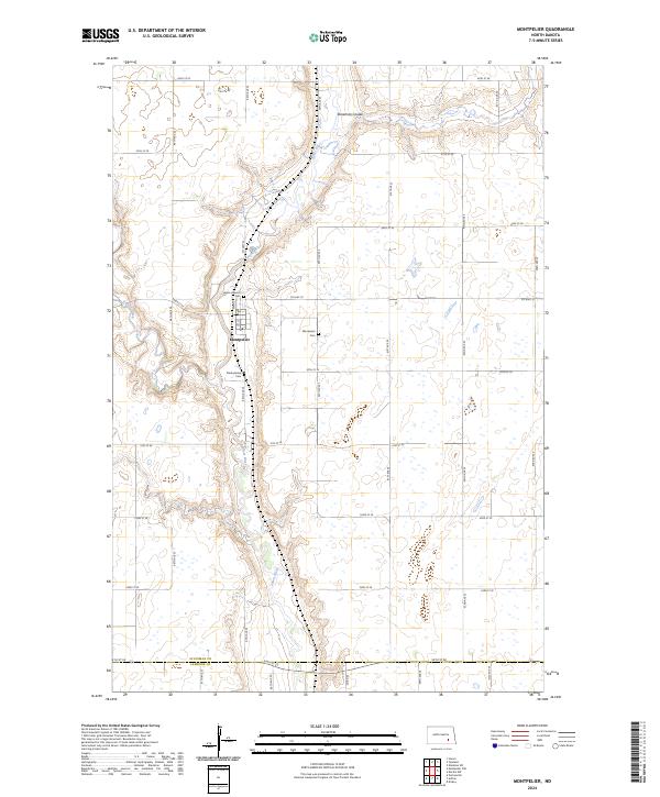
2024 Map of Montpelier
USGS Topo · Published 2024About this map
Montpelier serves as the central hub of this prairie landscape, situated where the James River begins its southward course through the region. This 2024 survey captures the community’s organization, with the town center featuring a local Po and a grid of streets including Main St and 1st St. The area's spiritual and family history is anchored by several distinct burial grounds, such as Saint Huberts Cem to the north, Montpelier Cem to the east, and Presbyterian Cem south of the main settlement. The surrounding terrain is defined by the winding paths of Beaver Creek and the deep cuts of Streaman Coulee, illustrating the hydrological patterns of the northern plains. The map also delineates the jurisdictional boundary between Stutsman Co and LaMoure Co, providing a clear view of how political lines intersect with the natural drainage basins of the James River valley.
Find a feature on this map
38 named features on this map. Tap any name to fly to it.
Don’t see what you’re looking for? This feature index may not catch every label — zoom into the map to look around manually.
Map Details
Editions of this 2024 Montpelier Map
This is the sole edition of this map. No revisions or reprints were ever made.
Other maps of this area

1896 · Jamestown
USGS Topo · 1:125,000

1897 · Eckelson
USGS Topo · 1:125,000

1952 · Homer
USGS Topo · 1:24,000

1952 · Ypsilanti
USGS Topo · 1:24,000

1952 · Dickey
USGS Topo · 1:24,000

1953 · Jamestown
USGS Topo · 1:250,000

1953 · Montpelier
USGS Topo · 1:24,000

1953 · Montpelier NW
USGS Topo · 1:24,000

1953 · Adrian
USGS Topo · 1:24,000

1953 · Nortonville
USGS Topo · 1:24,000