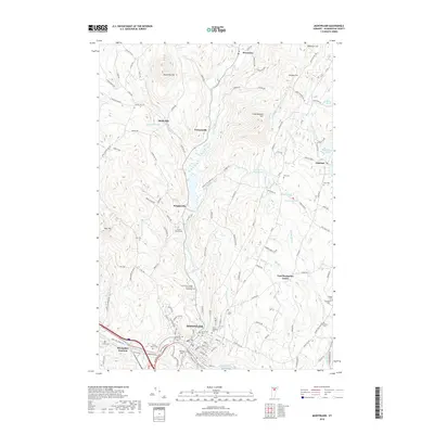
2018 Map of Montpelier
USGS Topo · Published 2018About this map
Montpelier serves as the focal point of this Vermont landscape, where the confluence of the Winooski River and the North Branch Winooski River historically dictated the capital's growth. The topography is defined by significant elevations such as Dumpling Hill and Hersey Hill, which overlook a network of small settlements like Shady Rill, Putnamville, and Adamant. For local historians and genealogists, the map reveals a dense concentration of burial grounds, including the Green Mount Cem and the Elm Street Cem near the city center, as well as the outlying Tinkham Cem and Quake Cem. The drainage patterns of Herrick Brook, Martins Brook, and Blanchard Brook illustrate how the terrain transitions from the urbanized river valley to the more rural, pond-dotted highlands of the north.
Find a feature on this map
128 named features on this map. Tap any name to fly to it.
Don’t see what you’re looking for? This feature index may not catch every label — zoom into the map to look around manually.
Map Details
Editions of this 2018 Montpelier Map
This is the sole edition of this map. No revisions or reprints were ever made.
Other maps of this area

1919 · Montpelier
USGS Topo · 1:62,500

1921 · Montpelier
USGS Topo · 1:62,500

1922 · Barre
USGS Topo · 1:48,000

1924 · Barre
USGS Topo · 1:62,500

1939 · Plainfield
USGS Topo · 1:48,000

1940 · Plainfield
USGS Topo · 1:62,500

1943 · Plainfield
USGS Topo · 1:62,500

1944 · Montpelier
USGS Topo · 1:62,500

1947 · Corinth
USGS Topo · 1:62,500

1948 · East Barre
USGS Topo · 1:62,500