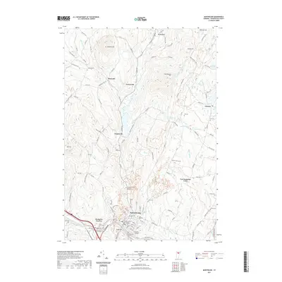
2021 Map of Montpelier
USGS Topo · Published 2021About this map
Montpelier serves as the central hub of this Vermont landscape, where the Winooski River meets the North Branch Winooski River and the Dog River. The capital's urban fabric is dense with historical and educational institutions, including the Vermont College of Fine Arts and the New England Culinary Institute. Outside the city center, the terrain is defined by a network of brooks and hills, such as Dumpling Hill and Hersey Hill, which separate smaller settlements like Putnamville and Adamant.
Find a feature on this map
136 named features on this map. Tap any name to fly to it.
Don’t see what you’re looking for? This feature index may not catch every label — zoom into the map to look around manually.
Map Details
Editions of this 2021 Montpelier Map
This is the sole edition of this map. No revisions or reprints were ever made.
Other maps of this area

1919 · Montpelier
USGS Topo · 1:62,500

1921 · Montpelier
USGS Topo · 1:62,500

1922 · Barre
USGS Topo · 1:48,000

1924 · Barre
USGS Topo · 1:62,500

1939 · Plainfield
USGS Topo · 1:48,000

1940 · Plainfield
USGS Topo · 1:62,500

1943 · Plainfield
USGS Topo · 1:62,500

1944 · Montpelier
USGS Topo · 1:62,500

1947 · Corinth
USGS Topo · 1:62,500

1948 · East Barre
USGS Topo · 1:62,500