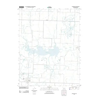
2011 Map of Montrose
USGS Topo · Published 2011About this map
Montrose Lake serves as the central geographic anchor for this Henry County landscape, where the waters of Deepwater Creek are impounded within a complex network of smaller tributaries. The settlement of Montrose is situated in the southwest corner, showing a structured grid of streets south of the Bear Creek drainage. To the north and east, the smaller communities of Delmar and La Due connect via a web of rural routes like SW Highway T and SW Hwy RA.
Find a feature on this map
65 named features on this map. Tap any name to fly to it.
Don’t see what you’re looking for? This feature index may not catch every label — zoom into the map to look around manually.
Map Details
Editions of this 2011 Montrose Map
This is the sole edition of this map. No revisions or reprints were ever made.
Other maps of this area

1887 · Clinton
USGS Topo · 1:125,000

1887 · Butler
USGS Topo · 1:125,000

1894 · Butler
USGS Topo · 1:125,000

1894 · Clinton
USGS Topo · 1:125,000

1947 · Jefferson City
USGS Topo · 1:250,000

1947 · Lawrence
USGS Topo · 1:250,000

1950 · Lawrence
USGS Topo · 1:250,000

1953 · Johnstown
USGS Topo · 1:24,000

1953 · Montrose
USGS Topo · 1:24,000

1953 · Hartwell
USGS Topo · 1:24,000