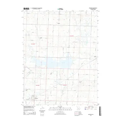
2014 Map of Montrose
USGS Topo · Published 2014About this map
Montrose serves as the primary hub in this southwest corner of Henry County, appearing as a concentrated grid of streets including W 8th St and California Avenue. The surrounding rural landscape is defined by the significant reservoir of Montrose Lake, which is fed and drained by several prominent watercourses including Deepwater Creek, Brushy Creek, and Granddaddy Creek. The area's settlement history is preserved through scattered rural communities like Delmar and La Due, along with numerous burial grounds such as Hopewell Cemetery, Vickers Cemetery, and Saint Ludgers Cemetery.
Find a feature on this map
54 named features on this map. Tap any name to fly to it.
Don’t see what you’re looking for? This feature index may not catch every label — zoom into the map to look around manually.
Map Details
Editions of this 2014 Montrose Map
This is the sole edition of this map. No revisions or reprints were ever made.
Other maps of this area

1887 · Clinton
USGS Topo · 1:125,000

1887 · Butler
USGS Topo · 1:125,000

1894 · Butler
USGS Topo · 1:125,000

1894 · Clinton
USGS Topo · 1:125,000

1947 · Jefferson City
USGS Topo · 1:250,000

1947 · Lawrence
USGS Topo · 1:250,000

1950 · Lawrence
USGS Topo · 1:250,000

1953 · Johnstown
USGS Topo · 1:24,000

1953 · Montrose
USGS Topo · 1:24,000

1953 · Hartwell
USGS Topo · 1:24,000