Loading...
Loading map...2021 Map of Montrose
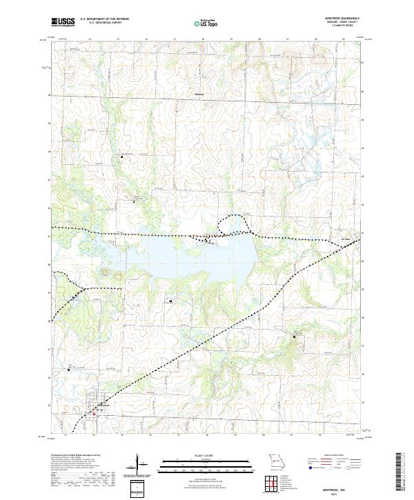
USGS Topo · Published 2021About this map
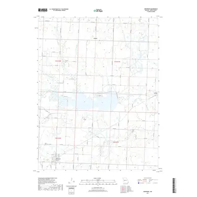
Montrose anchors the southwestern corner of this Henry County landscape, situated at the junction of several county roads including SW Hwy HH. The surrounding terrain is defined by a dense network of tributaries feeding into the larger water bodies of Deepwater Cr and Bear Cr. These drainage patterns shaped the placement of early rural hubs like Delmar and La Due.
Find a feature on this map
68 named features on this map. Tap any name to fly to it.
Don’t see what you’re looking for? This feature index may not catch every label — zoom into the map to look around manually.
Map Details
Date Portrayed2021
Date Published2021
PublisherU.S. Geological Survey
Map TypeTopographic
Scale1:24,000
Physical Dimensions24 x 29 inches
Editions of this 2021 Montrose Map
This is the sole edition of this map. No revisions or reprints were ever made.
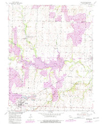
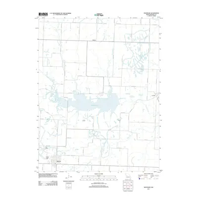
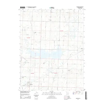
Historical Maps of Montrose Through Time
5 maps found
Featured Locations
Source Details
SourceU.S. Geological Survey
CopyrightPublic Domain