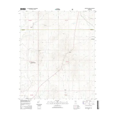
2015 Map of Montrose North
USGS Topo · Published 2015About this map
Bienville National Forest dominates the southwestern portion of this landscape, where the headwaters of Tallahala Cr and Otak Cr carve through the timberlands. The border between Newton and Jasper counties bisects the region, connecting small rural centers like Roberts in the northwest to the crossroads of Garlandville in the east. Local history is anchored at the Garlandville Cem and Randall Hill Cem, marking generations of settlement in this part of Mississippi. To the south, the village of Montrose sits near the forest edge, while smaller locales like Baxter and Verba are linked by a network of county roads such as Co Rd 25 and Co Rd 24. The topography is defined by narrow creek valleys including Souenlovie Cr and Scotchenflipper Cr, which drain the varied terrain outside the national forest boundary.
Find a feature on this map
39 named features on this map. Tap any name to fly to it.
Don’t see what you’re looking for? This feature index may not catch every label — zoom into the map to look around manually.
Map Details
Editions of this 2015 Montrose North Map
This is the sole edition of this map. No revisions or reprints were ever made.
Other maps of this area

1921 · Forest
USGS Topo · 1:48,000

1922 · Forest
USGS Topo · 1:62,500

1950 · Forest
USGS Topo · 1:62,500

1952 · Forest
USGS Topo · 1:62,500

1953 · Meridian
USGS Topo · 1:250,000

1957 · Meridian
USGS Topo · 1:250,000

1965 · Meridian
USGS Topo · 1:250,000

1966 · Hickory
USGS Topo · 1:24,000

1966 · Newton
USGS Topo · 1:24,000

1968 · Clear Springs
USGS Topo · 1:24,000