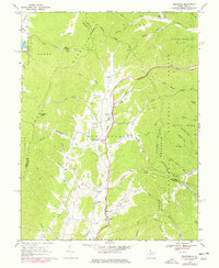
1969 Map of Montrose
USGS Topo · Published 1977About this map
Leading Creek carves a central corridor through this West Virginia landscape, where the Maryland Western Railroad follows the valley floor through settlements like Montrose and Smith Crossing. The map captures the meeting of three counties—Randolph, Barbour, and Tucker—while highlighting the transition from the valley farms to the dense timber of the Monongahela National Forest. Significant local institutions are documented throughout, including Israel Ch, Union Chapel, and the Elkins Speedway located south of Kerens.
Find a feature on this map
68 named features on this map. Tap any name to fly to it.
Don’t see what you’re looking for? This feature index may not catch every label — zoom into the map to look around manually.
Map Details
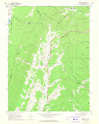
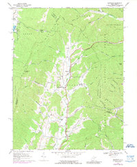
Editions of this 1969 Montrose Map
3 editions found
Other maps of this area

1886 · St. George
USGS Topo · 1:125,000

1889 · Beverly
USGS Topo · 1:125,000

1891 · St. George
USGS Topo · 1:125,000

1892 · Beverly
USGS Topo · 1:125,000

1907 · Belington
USGS Topo · 1:62,500

1908 · Parsons
USGS Topo · 1:62,500

1909 · Elkins
USGS Topo · 1:62,500

1922 · Horton
USGS Topo · 1:48,000

1924 · Horton
USGS Topo · 1:62,500

1926 · Parsons
USGS Topo · 1:62,500