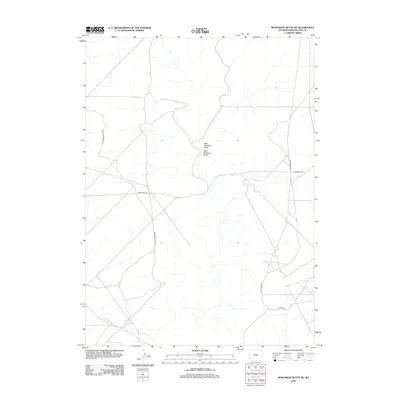
2012 Map of Monument Butte NE
USGS Topo · Published 2012About this map
East Buckhorn Draw and West Buckhorn Draw define the drainage patterns of this high-desert landscape in Sweetwater County. The 2012 topography shows a region primarily organized by a network of access roads and trails through public lands, reflecting the modern management and resource utilization of the Wyoming interior. Key transport routes include the north-south Monument Butte Rd and the intersecting Twelvemile Rd, which facilitate movement across the arid terrain. The map also documents specific public land infrastructure such as BLM Road 4204 and 18 Mile Rd, essential for modern land use and navigation in this expansive portion of the American West.
Find a feature on this map
6 named features on this map. Tap any name to fly to it.
Don’t see what you’re looking for? This feature index may not catch every label — zoom into the map to look around manually.
Map Details
Editions of this 2012 Monument Butte NE Map
This is the sole edition of this map. No revisions or reprints were ever made.
Other maps of this area

1955 · Lander
USGS Topo · 1:250,000

1958 · Lander
USGS Topo · 1:250,000

1961 · Lander
USGS Topo · 1:250,000
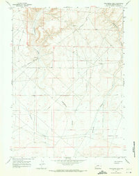
1968 · Twelvemile Sink
USGS Topo · 1:24,000

1968 · Twelvemile Knoll
USGS Topo · 1:24,000
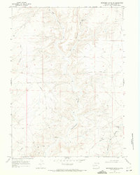
1968 · Monument Butte NE
USGS Topo · 1:24,000
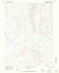
1968 · Blue Forest
USGS Topo · 1:24,000
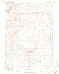
1968 · Simpson Gulch SW
USGS Topo · 1:24,000
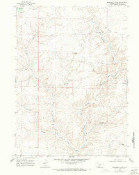
1968 · Monument Butte
USGS Topo · 1:24,000

1969 · Oasis Well
USGS Topo · 1:24,000