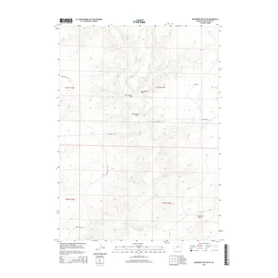
2015 Map of Monument Butte NE
USGS Topo · Published 2015About this map
Eighteenmile Canyon and Twelvemile Canyon cut through this high-elevation landscape in Sweetwater County, defining the drainage patterns of this arid plateau. The topography is further shaped by the deeply eroded paths of West Buckhorn Draw and East Buckhorn Draw. While the region lacks concentrated settlements, its accessibility and use are marked by a network of rural routes including Monument Butte Rd and Twelvemile Rd. The presence of Blm-4204 and county roads like Cr-49 reflects the management of public lands and the infrastructure required for resource access or livestock movement in this expansive Western terrain. The map provides a look at the township and range survey system, detailing the boundaries of T26N and T25N.
Find a feature on this map
13 named features on this map. Tap any name to fly to it.
Don’t see what you’re looking for? This feature index may not catch every label — zoom into the map to look around manually.
Map Details
Editions of this 2015 Monument Butte NE Map
This is the sole edition of this map. No revisions or reprints were ever made.
Other maps of this area

1955 · Lander
USGS Topo · 1:250,000

1958 · Lander
USGS Topo · 1:250,000

1961 · Lander
USGS Topo · 1:250,000
1968 · Twelvemile Sink
USGS Topo · 1:24,000

1968 · Twelvemile Knoll
USGS Topo · 1:24,000
1968 · Monument Butte NE
USGS Topo · 1:24,000
1968 · Blue Forest
USGS Topo · 1:24,000
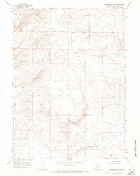
1968 · Simpson Gulch SW
USGS Topo · 1:24,000
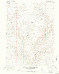
1968 · Monument Butte
USGS Topo · 1:24,000

1969 · Oasis Well
USGS Topo · 1:24,000