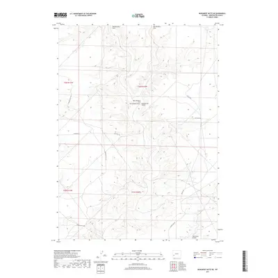
2017 Map of Monument Butte NE
USGS Topo · Published 2017About this map
Eighteenmile Canyon and Twelvemile Canyon carve through this high desert plateau in Sweetwater County, defining a landscape shaped by seasonal drainage and wind-etched topography. This 2017 survey by the U.S. Geological Survey captures a remote stretch of Wyoming where transportation is dictated by the natural draws and ridges, primarily through a network of Bureau of Land Management routes. Arteries such as Monument Butte Rd and Twelvemile Rd provide the only significant access across the undulating terrain. The drainage systems of West Buckhorn Draw and East Buckhorn Draw illustrate the hydrologic patterns of the region, where water movemenet toward the canyons has dictated the placement of back-country roads like Eighteen Mile Rd. The map offers a precise view of the Public Land Survey System grid across Townships 25 and 26 North, revealing the intersections of property boundaries with the natural features of the High Plains.
Find a feature on this map
12 named features on this map. Tap any name to fly to it.
Don’t see what you’re looking for? This feature index may not catch every label — zoom into the map to look around manually.
Map Details
Editions of this 2017 Monument Butte NE Map
This is the sole edition of this map. No revisions or reprints were ever made.
Other maps of this area

1955 · Lander
USGS Topo · 1:250,000

1958 · Lander
USGS Topo · 1:250,000

1961 · Lander
USGS Topo · 1:250,000
1968 · Twelvemile Sink
USGS Topo · 1:24,000

1968 · Twelvemile Knoll
USGS Topo · 1:24,000
1968 · Monument Butte NE
USGS Topo · 1:24,000
1968 · Blue Forest
USGS Topo · 1:24,000
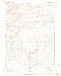
1968 · Simpson Gulch SW
USGS Topo · 1:24,000
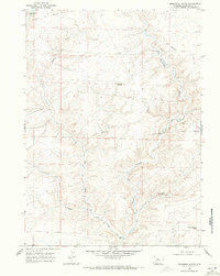
1968 · Monument Butte
USGS Topo · 1:24,000

1969 · Oasis Well
USGS Topo · 1:24,000