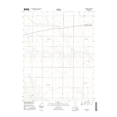
2015 Map of Monument
USGS Topo · Published 2015About this map
Monument sits at the intersection of a vast grid of section roads and the central rail line, serving as the primary hub for this stretch of Logan County. The landscape is defined by the branching drainage of N Br Hackberry Cr and Middle Br Hackberry Cr, which carve subtle relief into the High Plains. To the south, Sixmile Cr and the nearby Six Mile Gulch suggest a more dissected terrain as the land slopes toward the Smoky Hill River valley beyond this sheet. Local history is anchored by the Monument School and the Monument Cem, providing essential points of reference for genealogists. The township and range boundaries of t11s r34w and t11s r33w overlay a patchwork of evocative geographic descriptors like Eagle Eye, Day Dream, and Broken Bow, which appear as distinct tracts across the prairie.
Find a feature on this map
27 named features on this map. Tap any name to fly to it.
Don’t see what you’re looking for? This feature index may not catch every label — zoom into the map to look around manually.
Map Details
Editions of this 2015 Monument Map
This is the sole edition of this map. No revisions or reprints were ever made.
Other maps of this area

1954 · Goodland
USGS Topo · 1:250,000

1955 · Scott City
USGS Topo · 1:250,000

1956 · Goodland
USGS Topo · 1:250,000

1957 · Goodland
USGS Topo · 1:250,000

1958 · Scott City
USGS Topo · 1:250,000

1972 · Russell Springs
USGS Topo · 1:24,000

1972 · Monument
USGS Topo · 1:24,000
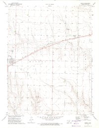
1972 · Winona
USGS Topo · 1:24,000

1972 · Winona NE
USGS Topo · 1:24,000
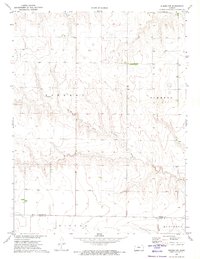
1972 · Winona NW
USGS Topo · 1:24,000