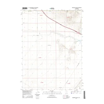
2014 Map of Monument Peak NE
USGS Topo · Published 2014About this map
Curlew Valley dominates this 2014 survey of the high desert along the northern border of Utah. The landscape is defined by the drainages of Deep Cr and the waters of Rose Ranch Reservoir, which support the historic Rose Ranch outpost. The terrain transitions from the broad flats of the valley floor into the uplifted Stone Hills in the north and Sage Valley to the southeast. Transportation through this remote stretch of Box Elder County relies on a network of straight-line section roads and the diagonal route of Locomotive Springs Rd, which cuts across the southern township blocks. This map captures the modern rural infrastructure of a traditional ranching region, where the Public Land Survey System grid remains the primary organizing force of the land.
Find a feature on this map
23 named features on this map. Tap any name to fly to it.
Don’t see what you’re looking for? This feature index may not catch every label — zoom into the map to look around manually.
Map Details
Editions of this 2014 Monument Peak NE Map
This is the sole edition of this map. No revisions or reprints were ever made.
Other maps of this area

1954 · Pocatello
USGS Topo · 1:250,000

1954 · Brigham City
USGS Topo · 1:250,000

1958 · Pocatello
USGS Topo · 1:250,000

1958 · Brigham City
USGS Topo · 1:250,000

1962 · Brigham City
USGS Topo · 1:250,000

1968 · Salt Wells
USGS Topo · 1:24,000

1968 · Monument Peak NW
USGS Topo · 1:24,000

1968 · Monument Peak SW
USGS Topo · 1:24,000

1968 · Snowville
USGS Topo · 1:24,000

1968 · Monument Peak
USGS Topo · 1:24,000