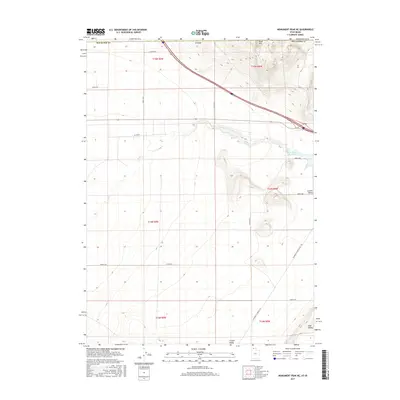
2017 Map of Monument Peak NE
USGS Topo · Published 2017About this map
Curlew Valley dominates this high-desert landscape in the northwest corner of Box Elder County, where the terrain transitions from the Stone Hills in the north toward the open flats of Sage Valley to the southeast. Water is the primary shaper of human activity here, evidenced by the Deep Creek drainage and the presence of Rose Ranch Reservoir on the eastern edge of the quadrangle. The map captures a vast network of section roads following the Public Land Survey System, such as W 25300 N and 24000 N Road, reflecting the systematic agricultural and ranching layout of northern Utah. A primary artery for the region, Locomotive Springs Road, cuts across the lower southeastern corner, providing a clear view of the rural infrastructure connecting these isolated ranching valleys.
Find a feature on this map
25 named features on this map. Tap any name to fly to it.
Don’t see what you’re looking for? This feature index may not catch every label — zoom into the map to look around manually.
Map Details
Editions of this 2017 Monument Peak NE Map
This is the sole edition of this map. No revisions or reprints were ever made.
Other maps of this area

1954 · Pocatello
USGS Topo · 1:250,000

1954 · Brigham City
USGS Topo · 1:250,000

1958 · Pocatello
USGS Topo · 1:250,000

1958 · Brigham City
USGS Topo · 1:250,000

1962 · Brigham City
USGS Topo · 1:250,000

1968 · Salt Wells
USGS Topo · 1:24,000

1968 · Monument Peak NW
USGS Topo · 1:24,000

1968 · Monument Peak SW
USGS Topo · 1:24,000

1968 · Snowville
USGS Topo · 1:24,000

1968 · Monument Peak
USGS Topo · 1:24,000