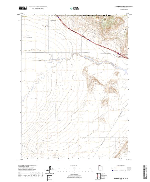
2023 Map of Monument Peak NE
USGS Topo · Published 2023About this map
The Sublett Range and the Stone Hills define the northern upland character of this desert landscape situated along the Utah-Idaho border. In the lowlands, the Curlew Valley spreads across the western portion of the sheet, while the southern reaches descend toward Sage Valley. The topography is a study in basin-and-range transitions, where drainage features like Deep Creek cut through the arid terrain. The map details a sparse but deliberate network of section-line roads and specialized routes such as Locomotive Springs Rd, which provides access through this vast expanse of Box Elder County. This modern survey documents the contemporary land management patterns and rural infrastructure of the high desert, emphasizing the isolation and specific geography of the Great Basin's northern edge.
Find a feature on this map
17 named features on this map. Tap any name to fly to it.
Don’t see what you’re looking for? This feature index may not catch every label — zoom into the map to look around manually.
Map Details
Editions of this 2023 Monument Peak NE Map
This is the sole edition of this map. No revisions or reprints were ever made.
Other maps of this area

1954 · Pocatello
USGS Topo · 1:250,000

1954 · Brigham City
USGS Topo · 1:250,000

1958 · Pocatello
USGS Topo · 1:250,000

1958 · Brigham City
USGS Topo · 1:250,000

1962 · Brigham City
USGS Topo · 1:250,000

1968 · Salt Wells
USGS Topo · 1:24,000

1968 · Monument Peak NW
USGS Topo · 1:24,000

1968 · Monument Peak SW
USGS Topo · 1:24,000

1968 · Snowville
USGS Topo · 1:24,000

1968 · Monument Peak
USGS Topo · 1:24,000