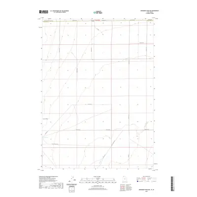
2020 Map of Monument Peak NW
USGS Topo · Published 2020About this map
Curlew Valley defines the wide, arid topography of this borderland region where the northern edge of Box Elder County meets the Idaho state line. The landscape is marked by a geometric grid of rural routes, including Stateline Rd and 27440 North Rd, which facilitate movement through this remote basin. Water remains a critical element for the region's ranching and transit history, anchored by the presence of Coyote Spring in the southwest and the winding path of Deep Cr further east. A network of local roads named for nearby peaks and landforms, such as Wildcat Mountain Rd, N Wildcat Rd, and E Wildcat Rd, provides a clear view of the sparse but systematic human footprint across the valley floor.
Find a feature on this map
20 named features on this map. Tap any name to fly to it.
Don’t see what you’re looking for? This feature index may not catch every label — zoom into the map to look around manually.
Map Details
Editions of this 2020 Monument Peak NW Map
This is the sole edition of this map. No revisions or reprints were ever made.
Other maps of this area

1954 · Pocatello
USGS Topo · 1:250,000

1954 · Brigham City
USGS Topo · 1:250,000

1958 · Pocatello
USGS Topo · 1:250,000

1958 · Brigham City
USGS Topo · 1:250,000

1959 · Strevell
USGS Topo · 1:62,500

1959 · Kelton Pass
USGS Topo · 1:62,500

1962 · Brigham City
USGS Topo · 1:250,000

1968 · Monument Peak NW
USGS Topo · 1:24,000

1968 · Monument Peak SW
USGS Topo · 1:24,000

1968 · Monument Peak
USGS Topo · 1:24,000