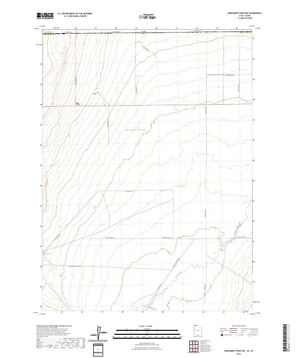
2023 Map of Monument Peak NW
USGS Topo · Published 2023About this map
Curlew Valley defines the geography of this borderland region where northern Utah meets southern Idaho. This modern topographic study reveals a landscape organized by a precise grid of county roads, including Stateline Rd, which tracks the boundary between Oneida County and Box Elder County. Water sources are sparse but critical in this arid environment, marked by the intermittent course of Deep Creek and the presence of Coyote Spring. The infrastructure here, consisting of routes like Wildcat Mountain Rd and N Wildcat Rd, reflects the ranching and agricultural heritage of the valley. This survey provides a clear view of the rural township and range system that continues to shape land use across the Idaho-Utah line.
Find a feature on this map
21 named features on this map. Tap any name to fly to it.
Don’t see what you’re looking for? This feature index may not catch every label — zoom into the map to look around manually.
Map Details
Editions of this 2023 Monument Peak NW Map
This is the sole edition of this map. No revisions or reprints were ever made.
Other maps of this area

1954 · Pocatello
USGS Topo · 1:250,000

1954 · Brigham City
USGS Topo · 1:250,000

1958 · Pocatello
USGS Topo · 1:250,000

1958 · Brigham City
USGS Topo · 1:250,000

1959 · Strevell
USGS Topo · 1:62,500

1959 · Kelton Pass
USGS Topo · 1:62,500

1962 · Brigham City
USGS Topo · 1:250,000

1968 · Monument Peak NW
USGS Topo · 1:24,000

1968 · Monument Peak SW
USGS Topo · 1:24,000

1968 · Monument Peak
USGS Topo · 1:24,000