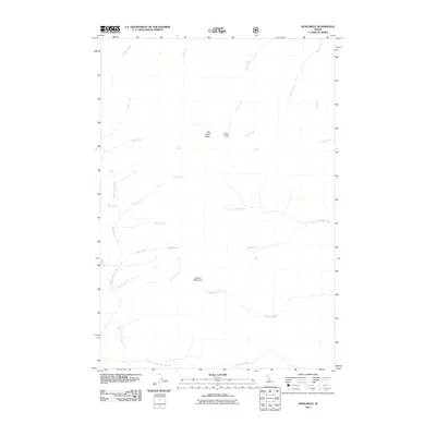
2011 Map of Monument
USGS Topo · Published 2011About this map
Lookout Mountain and the high divide of Big Creek Ridge dominate this central Idaho landscape, where a complex network of drainages flows through the deep backcountry of Valley County. In the early 21st century, this area remains defined by its water system, most notably Monumental Creek and the curiously named Holy Terror Creek in the south. The presence of Milk Lake tucked beneath the peaks and the namesake Buck Point suggests a terrain shaped by high-elevation lakes and prominent overlooks. This environment, captured just after the first decade of the 2000s, is etched with historical nomenclature from early mountain travel, such as Telephone Creek and Paint Creek, reflecting a wilderness area where natural landmarks serve as the primary identifiers of the land.
Find a feature on this map
25 named features on this map. Tap any name to fly to it.
Don’t see what you’re looking for? This feature index may not catch every label — zoom into the map to look around manually.
Map Details
Editions of this 2011 Monument Map
This is the sole edition of this map. No revisions or reprints were ever made.
Other maps of this area

1930 · Casto
USGS Topo · 1:125,000

1956 · Elk City
USGS Topo · 1:250,000

1957 · Challis
USGS Topo · 1:250,000

1960 · Elk City
USGS Topo · 1:250,000

1960 · Challis
USGS Topo · 1:250,000

1962 · Mormon Mtn
USGS Topo · 1:24,000

1962 · Vinegar Hill
USGS Topo · 1:24,000

1962 · Shellrock Peak
USGS Topo · 1:24,000

1963 · Challis
USGS Topo · 1:250,000

1973 · Center Mtn
USGS Topo · 1:24,000