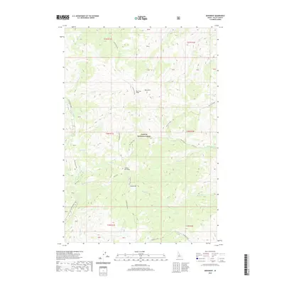
2020 Map of Monument
USGS Topo · Published 2020About this map
The Payette National Forest dominates this landscape in Valley County, where high ridges and deep drainages define the wilderness character of central Idaho. Rising significantly above the surrounding terrain, Lookout Mountain and the adjacent Lookout Mtn Ridge serve as primary landmarks for navigating the complex topography. The map detail highlights an intricate network of waterways, including Monumental Creek and several forks of Rush Creek, which have carved deep paths through the forest over time. High-elevation features like Milk Lake and prominent overlooks such as Buck Point and Big Creek Ridge illustrate the steep gradients of this region. The presence of numerous streams with distinct names like Holy Terror Cr and Telephone Creek suggests a history of local exploration and the naming of remote landmarks by early travelers and foresters.
Find a feature on this map
44 named features on this map. Tap any name to fly to it.
Don’t see what you’re looking for? This feature index may not catch every label — zoom into the map to look around manually.
Map Details
Editions of this 2020 Monument Map
This is the sole edition of this map. No revisions or reprints were ever made.
Other maps of this area

1930 · Casto
USGS Topo · 1:125,000

1956 · Elk City
USGS Topo · 1:250,000

1957 · Challis
USGS Topo · 1:250,000

1960 · Elk City
USGS Topo · 1:250,000

1960 · Challis
USGS Topo · 1:250,000

1962 · Mormon Mtn
USGS Topo · 1:24,000

1962 · Vinegar Hill
USGS Topo · 1:24,000

1962 · Shellrock Peak
USGS Topo · 1:24,000

1963 · Challis
USGS Topo · 1:250,000

1973 · Center Mtn
USGS Topo · 1:24,000