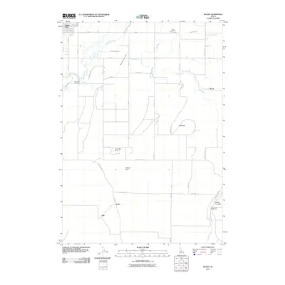
2010 Map of Moody
USGS Topo · Published 2010About this map
Sugar City anchors the northwestern corner of this agricultural landscape, where the South Teton River and its managed waterways sustain the high desert plain. The local economy is defined by a complex network of irrigation, including the Woodmansee Johnson Canal, Teton Canal, and the City of Rexburg Ditch. These systems cut across a grid of rural roads that connect small settlements like Moody, Parkinson, and Walker. Distinctive volcanic landforms such as Sommers Butte and Webster Butte rise above the fields, providing rare topographic relief in this otherwise level valley. Genealogists will find the Sugar City Cemetery and Teton Cemetery clearly marked, while outdoor enthusiasts can identify the Moody Creek Access Area near Woods Crossing at the southern edge of the quadrangle.
Find a feature on this map
42 named features on this map. Tap any name to fly to it.
Don’t see what you’re looking for? This feature index may not catch every label — zoom into the map to look around manually.
Map Details
Editions of this 2010 Moody Map
This is the sole edition of this map. No revisions or reprints were ever made.
Other maps of this area

1948 · Parker
USGS Topo · 1:24,000

1949 · Rexburg
USGS Topo · 1:24,000

1949 · Newdale
USGS Topo · 1:24,000

1950 · Ririe
USGS Topo · 1:24,000

1950 · Parker
USGS Topo · 1:24,000

1950 · Rexburg
USGS Topo · 1:24,000

1950 · Newdale
USGS Topo · 1:24,000

1950 · St Anthony
USGS Topo · 1:24,000

1950 · Rigby
USGS Topo · 1:62,500

1951 · Moody
USGS Topo · 1:24,000