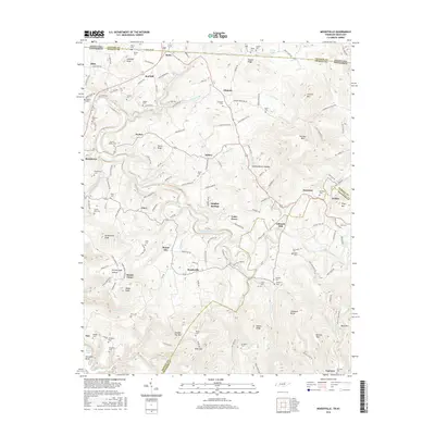
2016 Map of Moodyville
USGS Topo · Published 2016About this map
Moodyville and the winding course of the Wolf River define this rural landscape along the Tennessee-Kentucky border. The topography is marked by significant relief, featuring the prominent Huddleston Knob and the deep recesses of Falling Waters Hollow. Family names are etched into the terrain through numerous small burial grounds such as Mullins Cem, Garrett Cem, and the Upchurch-Poore Cem, reflecting generations of settlement in the Cumberland Plateau region.
Find a feature on this map
136 named features on this map. Tap any name to fly to it.
Don’t see what you’re looking for? This feature index may not catch every label — zoom into the map to look around manually.
Map Details
Editions of this 2016 Moodyville Map
This is the sole edition of this map. No revisions or reprints were ever made.
Other maps of this area

1895 · Wartburg
USGS Topo · 1:125,000

1896 · Wartburg
USGS Topo · 1:125,000

1897 · Standingstone
USGS Topo · 1:125,000

1898 · Standingstone
USGS Topo · 1:125,000

1929 · Byrdstown
USGS Topo · 1:62,500

1934 · Pall Mall
USGS Topo · 1:62,500

1954 · Albany
USGS Topo · 1:24,000

1954 · Jamestown
USGS Topo · 1:24,000

1954 · Savage
USGS Topo · 1:24,000

1954 · Powersburg
USGS Topo · 1:24,000