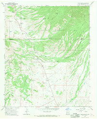
1965 Map of Moon Ranch
USGS Topo · Published 1970About this map
Leopold Vista (Historical Monument) stands as a landmark of conservation history within the Gila National Forest, overlooking a complex terrain of deep canyons and seasonal drainages. This mid-century survey of the New Mexico high country captures the vital water infrastructure of the ranching era, characterized by numerous stock tanks such as Bills Hole Tank, Rattlesnake Tank, and Boundary Tank. These features were essential for supporting livestock across the arid expanses of Cactus Flat and the surrounding tablelands.
Find a feature on this map
53 named features on this map. Tap any name to fly to it.
Don’t see what you’re looking for? This feature index may not catch every label — zoom into the map to look around manually.
Map Details
Editions of this 1965 Moon Ranch Map
2 editions found
Other maps of this area

1910 · Mogollon
USGS Topo · 1:125,000

1912 · Mogollon
USGS Topo · 1:125,000

1954 · Clifton
USGS Topo · 1:250,000

1957 · Clifton
USGS Topo · 1:250,000

1958 · Clifton
USGS Topo · 1:250,000

1962 · Clifton
USGS Topo · 1:250,000
1965 · Mule Creek
USGS Topo · 1:24,000
1965 · Wilson Mountain
USGS Topo · 1:24,000
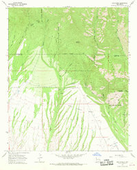
1965 · Rice Ranch
USGS Topo · 1:24,000
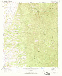
1965 · Holt Mountain
USGS Topo · 1:24,000