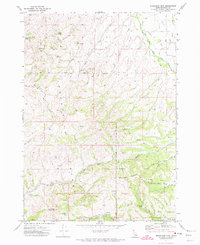
1971 Map of Moonlight Mtn
USGS Topo · Published 1974About this map
The Pocatello Range dominates this 1971 topographic landscape, defined by high-elevation springs and rugged drainage basins. The eastern boundary of the Fort Hall Indian Reservation bisects the terrain, creating a distinct administrative line across the ridges. Resource extraction and water management are primary themes, evidenced by the Moonlight Mine and several scattered Prospect labels throughout the hills.
Find a feature on this map
31 named features on this map. Tap any name to fly to it.
Don’t see what you’re looking for? This feature index may not catch every label — zoom into the map to look around manually.
Map Details
Editions of this 1971 Moonlight Mtn Map
2 editions found
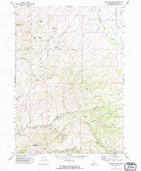
Other maps of this area

1937 · Pocatello
USGS Topo · 1:48,000

1940 · Blackfoot
USGS Topo · 1:62,500

1943 · Blackfoot
USGS Topo · 1:62,500

1944 · Pocatello
USGS Topo · 1:62,500

1954 · Pocatello
USGS Topo · 1:250,000

1955 · Yandell Springs
USGS Topo · 1:62,500

1955 · Idaho Falls
USGS Topo · 1:250,000

1958 · Idaho Falls
USGS Topo · 1:250,000

1958 · Pocatello
USGS Topo · 1:250,000
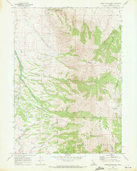
1968 · South Putnam Mtn
USGS Topo · 1:24,000