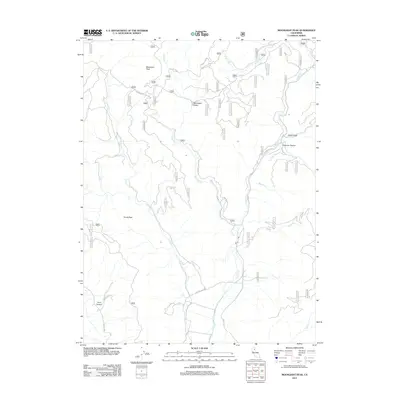
2012 Map of Moonlight Peak
USGS Topo · Published 2012About this map
Moonlight Peak and Evans Peak anchor this mountainous section of Lassen County, where a network of forest roads and watercourses defines the landscape. The drainage system is particularly intricate, featuring Cooks Cr to the west and the convergence of Moonlight Cr and Lights Cr in the central and eastern reaches. Significant topographic features like China Gulch and Superior Ravine illustrate the complex erosion patterns common in this high-elevation region.
Find a feature on this map
46 named features on this map. Tap any name to fly to it.
Don’t see what you’re looking for? This feature index may not catch every label — zoom into the map to look around manually.
Map Details
Editions of this 2012 Moonlight Peak Map
This is the sole edition of this map. No revisions or reprints were ever made.
Other maps of this area

1886 · Honey Lake
USGS Topo · 1:250,000

1891 · Honey Lake
USGS Topo · 1:250,000

1893 · Honey Lake
USGS Topo · 1:250,000

1950 · Kettle Rock
USGS Topo · 1:62,500

1950 · Greenville
USGS Topo · 1:62,500

1954 · Susanville
USGS Topo · 1:62,500

1955 · Westwood
USGS Topo · 1:62,500

1955 · Westwood
USGS Topo · 1:250,000

1958 · Westwood
USGS Topo · 1:250,000

1959 · Westwood
USGS Topo · 1:250,000