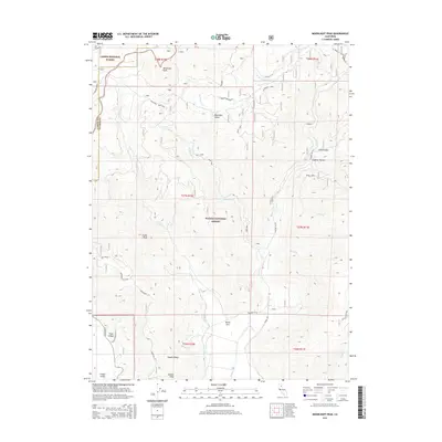
2015 Map of Moonlight Peak
USGS Topo · Published 2015About this map
Moonlight Peak and Evans Peak anchor the high ground of the Northern Sierra Nevada at the boundary of Lassen National Forest and Plumas National Forest. This 2015 survey details a landscape defined by significant elevation changes, from the heights of Keddie Ridge down to the North Arm of Indian Valley. Evidence of the region's mineral history is visible at the Ruby Mine situated near Moonlight Cr. The map highlights a complex drainage system feeding into Lights Creek, including Freds Cr and Warren Cr. Cultural features are largely centered on forest infrastructure and historical access routes like the Diamond Mt Rd and Hunt's Canyon Rd, reflecting the area's primary use for resource management and wilderness preservation.
Find a feature on this map
46 named features on this map. Tap any name to fly to it.
Don’t see what you’re looking for? This feature index may not catch every label — zoom into the map to look around manually.
Map Details
Editions of this 2015 Moonlight Peak Map
This is the sole edition of this map. No revisions or reprints were ever made.
Other maps of this area

1886 · Honey Lake
USGS Topo · 1:250,000

1891 · Honey Lake
USGS Topo · 1:250,000

1893 · Honey Lake
USGS Topo · 1:250,000

1950 · Kettle Rock
USGS Topo · 1:62,500

1950 · Greenville
USGS Topo · 1:62,500

1954 · Susanville
USGS Topo · 1:62,500

1955 · Westwood
USGS Topo · 1:62,500

1955 · Westwood
USGS Topo · 1:250,000

1958 · Westwood
USGS Topo · 1:250,000

1959 · Westwood
USGS Topo · 1:250,000