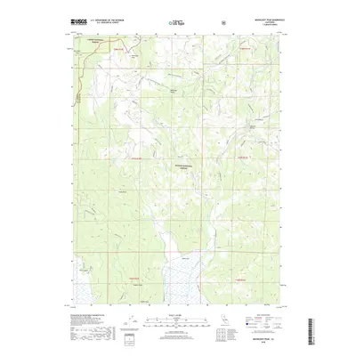
2018 Map of Moonlight Peak
USGS Topo · Published 2018About this map
Moonlight Peak and the high ridges of the Lassen National Forest define the northern boundary of this 2018 survey, where the terrain falls away toward the North Arm of Indian Valley. The map captures a high-altitude landscape dominated by the transition between the Lassen and Plumas National Forest. Local industrial and mining history is evident through features like the Ruby Mine and the rugged drainage of China Gulch.
Find a feature on this map
44 named features on this map. Tap any name to fly to it.
Don’t see what you’re looking for? This feature index may not catch every label — zoom into the map to look around manually.
Map Details
Editions of this 2018 Moonlight Peak Map
This is the sole edition of this map. No revisions or reprints were ever made.
Other maps of this area

1886 · Honey Lake
USGS Topo · 1:250,000

1891 · Honey Lake
USGS Topo · 1:250,000

1893 · Honey Lake
USGS Topo · 1:250,000

1950 · Kettle Rock
USGS Topo · 1:62,500

1950 · Greenville
USGS Topo · 1:62,500

1954 · Susanville
USGS Topo · 1:62,500

1955 · Westwood
USGS Topo · 1:62,500

1955 · Westwood
USGS Topo · 1:250,000

1958 · Westwood
USGS Topo · 1:250,000

1959 · Westwood
USGS Topo · 1:250,000