
1957 Map of Moorcroft
USGS Topo · Published 1959About this map
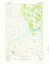
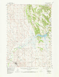
Moorcroft stands at the confluence of the Belle Fourche River and the Chicago Burlington and Quincy RR, serving as a vital rail and ranching hub in northeast Wyoming. The landscape is defined by the massive Keyhole Reservoir, held by the Keyhole Dam on the Belle Fourche. This mid-century survey captures a transition in the region's economy, where traditional cattle ranching on properties like the Robinson Ranch and Schunicht Ranch coexists with emerging energy interests, evidenced by scattered oil wells and the Dakota Divide pipeline. Cultural history is etched into the terrain via the Texas Trail and the presence of a Historical Mon near the town center. To the north, the topography becomes more complex at the Dakota Divide, where landmarks like the Monumental City rock formations and the Thorn Divide School mark the rural social fabric of Crook County.
Find a feature on this map
71 named features on this map. Tap any name to fly to it.
Don’t see what you’re looking for? This feature index may not catch every label — zoom into the map to look around manually.
Map Details
Editions of this 1957 Moorcroft Map
3 editions found
Other maps of this area

1905 · Devils Tower
USGS Topo · 1:125,000

1918 · Moorcroft
USGS Topo · 1:125,000

1918 · Moorcroft
USGS Topo · 1:62,500

1954 · Sunny Divide
USGS Topo · 1:24,000

1954 · Carlile
USGS Topo · 1:24,000

1954 · Missouri Buttes
USGS Topo · 1:24,000

1954 · Gillette
USGS Topo · 1:250,000

1955 · Devils Tower
USGS Topo · 1:62,500

1955 · Gillette
USGS Topo · 1:250,000

1957 · Nefsy Divide
USGS Topo · 1:62,500