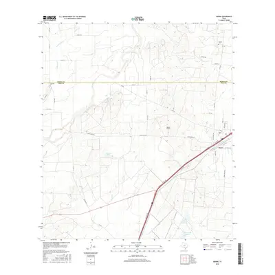
2016 Map of Moore
USGS Topo · Published 2016About this map
The community of Moore serves as the focal point for this 2016 survey, situated where Old Hwy 81 and the modern Interstate 35 corridor traverse the border of Frio and Medina counties. The landscape is defined by the drainage systems of Tehuacana Cr and Hondo Cr, which cut through the terrain as it transitions south toward the Brush Country. Genealogical interest is particularly strong here, with three distinct burial grounds documented: Tehuacana Cem to the northwest, Tomerlin Cem in the northeast, and Moore Cem near the town center.
Find a feature on this map
45 named features on this map. Tap any name to fly to it.
Don’t see what you’re looking for? This feature index may not catch every label — zoom into the map to look around manually.
Map Details
Editions of this 2016 Moore Map
This is the sole edition of this map. No revisions or reprints were ever made.
Other maps of this area

1925 · Pearsall 1-b
USGS Topo · 1:48,000

1927 · Pearsall
USGS Topo · 1:62,500

1934 · Schattel
USGS Topo · 1:62,500

1942 · Natalia
USGS Topo · 1:62,500

1953 · Crystal City
USGS Topo · 1:250,000

1954 · San Antonio
USGS Topo · 1:250,000

1955 · Crystal City
USGS Topo · 1:250,000

1957 · San Antonio
USGS Topo · 1:250,000

1961 · Crystal City
USGS Topo · 1:250,000

1964 · Ghost Hill
USGS Topo · 1:24,000