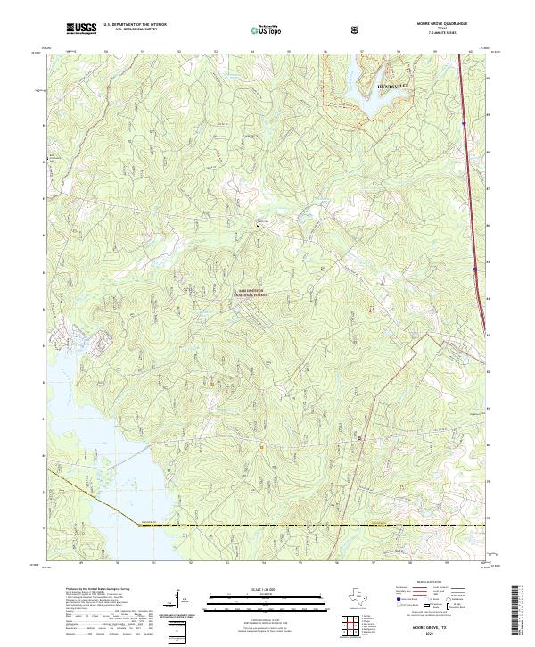
2022 Map of Moore Grove
USGS Topo · Published 2022About this map
The Sam Houston National Forest dominates this section of East Texas, where the terrain is defined by the headwaters and tributaries of the West Fork San Jacinto River. The southern edge of the sheet features the expansive waters of Lake Conroe, a landscape heavily modified for water management and recreation. Away from the lake, the forest is threaded with a network of rural roads and trails, such as Possum Walk Rd and Chinquapin Trl, indicating the area's ongoing use for timber management and outdoor access.
Find a feature on this map
78 named features on this map. Tap any name to fly to it.
Don’t see what you’re looking for? This feature index may not catch every label — zoom into the map to look around manually.
Map Details
Editions of this 2022 Moore Grove Map
This is the sole edition of this map. No revisions or reprints were ever made.
Other maps of this area

1954 · Beaumont
USGS Topo · 1:250,000

1957 · Beaumont
USGS Topo · 1:250,000

1958 · Lake Paula
USGS Topo · 1:24,000

1959 · Moore Grove
USGS Topo · 1:24,000

1959 · San Jacinto
USGS Topo · 1:24,000

1959 · Montgomery
USGS Topo · 1:24,000

1960 · Willis
USGS Topo · 1:24,000

1960 · New Waverly
USGS Topo · 1:24,000

1960 · Phelps
USGS Topo · 1:24,000

1962 · Galilee
USGS Topo · 1:24,000