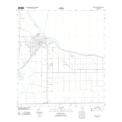
2012 Map of Moore Haven
USGS Topo · Published 2012About this map
Moore Haven serves as the focal point of this 2012 survey, situated at the critical junction where the Caloosahatchee Canal and Okeechobee Waterway meet the southern rim of the lake. The engineering of the Florida Everglades is prominently displayed through the massive Herbert Hoover Dyke and a complex network of drainage channels, including the Old Moore Haven Canal and the Rim Canal. These features reflect the region's historical efforts to manage water flow for agriculture and navigation. To the north, the settlement of Washington Park and Moore Haven Bridge provide essential infrastructure for the community. Moving south and east, the landscape transitions into an organized grid of agricultural fields and smaller settlements like Benbow and Whidden Corner. Notable landmarks such as Gramlin Number Two and Hilliard's Private Airport punctuate the rural landscape, while Lake Hicpochee remains a significant natural feature in the southwest, partially bypassed by modern water control systems.
Find a feature on this map
48 named features on this map. Tap any name to fly to it.
Don’t see what you’re looking for? This feature index may not catch every label — zoom into the map to look around manually.
Map Details
Editions of this 2012 Moore Haven Map
This is the sole edition of this map. No revisions or reprints were ever made.
Other maps of this area

1956 · West Palm Beach
USGS Topo · 1:250,000

1957 · West Palm Beach
USGS Topo · 1:250,000

1958 · West Palm Beach
USGS Topo · 1:250,000

1970 · Moore Haven
USGS Topo · 1:24,000

1970 · Clewiston South
USGS Topo · 1:24,000
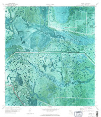
1970 · Lakeport
USGS Topo · 1:24,000

1970 · La Belle 4 NW
USGS Topo · 1:24,000

1970 · La Belle 4 NE
USGS Topo · 1:24,000
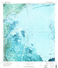
1971 · Fisheating Bay
USGS Topo · 1:24,000
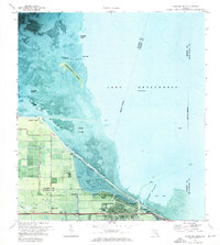
1971 · Clewiston North
USGS Topo · 1:24,000