2024 Map of Moore Haven
USGS Topo · Published 2024About this map
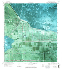
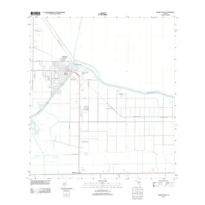
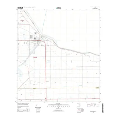
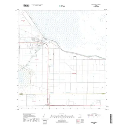
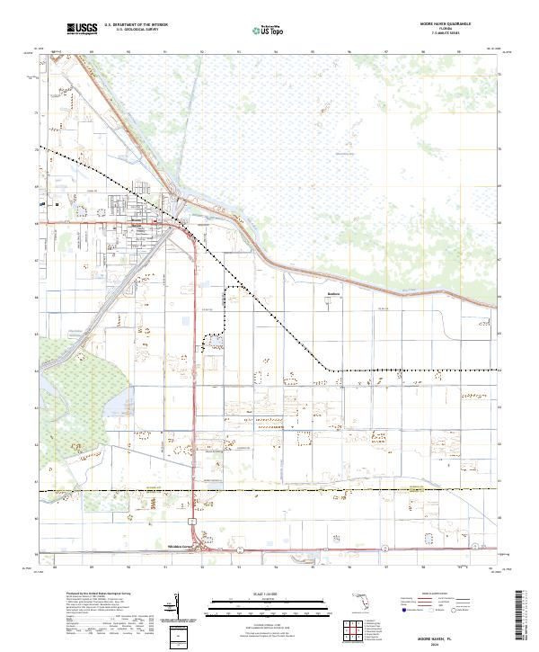
Moore Haven serves as the focal point for this survey, situated at the critical junction of the Okeechobee Waterway and the Rim Canal. As the county seat, the town is anchored by the Glades County Courthouse and a dense grid of streets including El Dorado Ave NW and Azalea Ave. The landscape is defined by its sophisticated water management infrastructure, where the Caloosahatchee Canal and Old Moore Haven Canal cut through the marshy terrain toward Moonshine Bay. This geography highlights the region's historic reliance on water-borne transport and drainage systems that made settlement possible in the Florida interior.
Find a feature on this map
53 named features on this map. Tap any name to fly to it.
Don’t see what you’re looking for? This feature index may not catch every label — zoom into the map to look around manually.
Map Details
Editions of this 2024 Moore Haven Map
This is the sole edition of this map. No revisions or reprints were ever made.
Historical Maps of Moore Haven Through Time
6 maps found