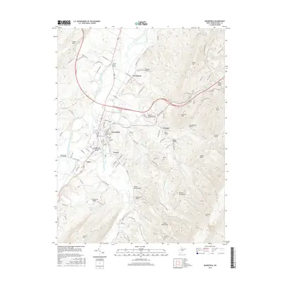
2016 Map of Moorefield
USGS Topo · Published 2016About this map
Moorefield serves as the focal point of this Hardy County region, situated at the confluence where Fort Run and Dumpling Run meet the South Branch Potomac River. The settlement pattern reflects a mix of established town centers like Tannery and Taylor alongside significant local institutions such as the Eastern W Virginia Community and Technical Coll. The river valley is traversed by several notable crossings, including the Parsons Ford Bridge and the Wendell Dell Hester Memorial Bridge, indicating the importance of these water routes for local transit and connectivity.
Find a feature on this map
109 named features on this map. Tap any name to fly to it.
Don’t see what you’re looking for? This feature index may not catch every label — zoom into the map to look around manually.
Map Details
Editions of this 2016 Moorefield Map
This is the sole edition of this map. No revisions or reprints were ever made.
Other maps of this area

1891 · Romney
USGS Topo · 1:125,000

1892 · Franklin
USGS Topo · 1:125,000

1892 · Woodstock
USGS Topo · 1:125,000

1895 · Piedmont
USGS Topo · 1:125,000

1896 · Franklin
USGS Topo · 1:125,000

1920 · Petersburg
USGS Topo · 1:48,000

1920 · Moorefield
USGS Topo · 1:62,500

1921 · Orkney Springs
USGS Topo · 1:48,000

1921 · Petersburg
USGS Topo · 1:48,000

1921 · Greenland Gap
USGS Topo · 1:62,500