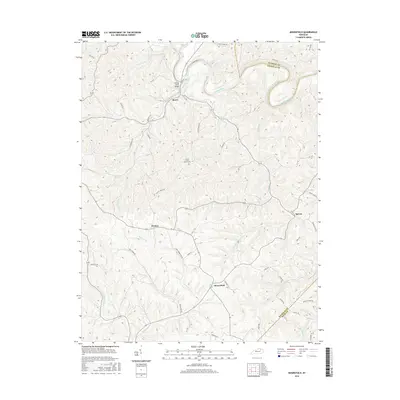
2016 Map of Moorefield
USGS Topo · Published 2016About this map
The Licking River carves a winding path through the northern landscape of Nicholas and Fleming counties, creating a topography of sharp ridges and creek valleys. At a bend in the river sits Myers, connected to the southern hills by the Licking River Bridge. This area is defined by its small, scattered rural communities and agricultural road networks that follow the natural drainage of Somerset Cr and Cassidy Creek.
Find a feature on this map
54 named features on this map. Tap any name to fly to it.
Don’t see what you’re looking for? This feature index may not catch every label — zoom into the map to look around manually.
Map Details
Editions of this 2016 Moorefield Map
This is the sole edition of this map. No revisions or reprints were ever made.
Other maps of this area

1952 · Cowan
USGS Topo · 1:24,000

1952 · Owingsville
USGS Topo · 1:24,000

1952 · Sharpsburg
USGS Topo · 1:24,000

1952 · Sherburne
USGS Topo · 1:24,000

1952 · Elizaville
USGS Topo · 1:24,000

1952 · North Middletown
USGS Topo · 1:24,000

1952 · Piqua
USGS Topo · 1:24,000

1953 · Carlisle
USGS Topo · 1:24,000

1953 · Moorefield
USGS Topo · 1:24,000

1956 · Louisville
USGS Topo · 1:250,000