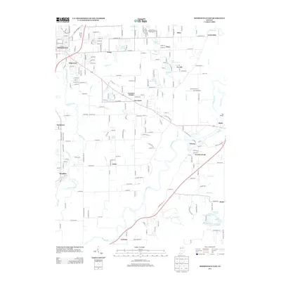
2013 Map of Mooresville East
USGS Topo · Published 2013About this map
White River and White Lick Cr define the hydrological character of this Morgan County landscape, with the river meandering through the eastern half near Waverly. This 2013 topographic survey captures a suburbanizing region south of Indianapolis, where established residential areas like Mooresville and Brooklyn are surrounded by numerous private lakes and newer developments such as Waverly Woods and Crestview Heights. The geography is marked by several named water bodies including Poplar Grove Lake, Crouse Lake, and the cluster of Upper Paradise Lake and Lower Paradise Lake near Banta.
Find a feature on this map
47 named features on this map. Tap any name to fly to it.
Don’t see what you’re looking for? This feature index may not catch every label — zoom into the map to look around manually.
Map Details
Editions of this 2013 Mooresville East Map
This is the sole edition of this map. No revisions or reprints were ever made.
Other maps of this area

1942 · Franklin
USGS Topo · 1:125,000

1947 · Franklin
USGS Topo · 1:62,500

1948 · Maywood
USGS Topo · 1:24,000

1948 · Trafalgar
USGS Topo · 1:24,000

1950 · Franklin
USGS Topo · 1:62,500

1952 · Bargersville
USGS Topo · 1:24,000

1953 · Bridgeport
USGS Topo · 1:24,000

1953 · Plainfield
USGS Topo · 1:24,000

1953 · Indianapolis
USGS Topo · 1:250,000

1955 · Cope
USGS Topo · 1:24,000