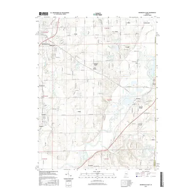
2016 Map of Mooresville East
USGS Topo · Published 2016About this map
White Lick Creek and the White River converge in this portion of Morgan County, shaping a landscape defined by river bends and agricultural plains. The river corridor is home to several distinct settlements including Waverly, Brooklyn, and Mooresville, which show a transition from traditional town centers to modern residential clusters like Fox Hill and Crestview Heights. Transport patterns follow the natural topography, with Old State Rd 37 N cutting diagonally across the river plain and Old State Rd 67 serving the northwestern corner.
Find a feature on this map
127 named features on this map. Tap any name to fly to it.
Don’t see what you’re looking for? This feature index may not catch every label — zoom into the map to look around manually.
Map Details
Editions of this 2016 Mooresville East Map
This is the sole edition of this map. No revisions or reprints were ever made.
Other maps of this area

1942 · Franklin
USGS Topo · 1:125,000

1947 · Franklin
USGS Topo · 1:62,500

1948 · Maywood
USGS Topo · 1:24,000

1948 · Trafalgar
USGS Topo · 1:24,000

1950 · Franklin
USGS Topo · 1:62,500

1952 · Bargersville
USGS Topo · 1:24,000

1953 · Bridgeport
USGS Topo · 1:24,000

1953 · Plainfield
USGS Topo · 1:24,000

1953 · Indianapolis
USGS Topo · 1:250,000

1955 · Cope
USGS Topo · 1:24,000