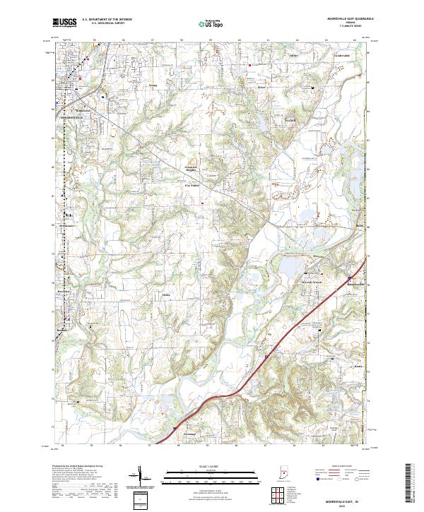
2022 Map of Mooresville East
USGS Topo · Published 2022About this map
The White River winds through the heart of this Morgan County landscape, creating a broad alluvial plain that defines the local geography. Significant residential developments and named clusters such as Waverly, Crestview Heights, and Bargersville are situated along the primary transportation corridors, including the modern paths of the White River Greenway Trl. The area is characterized by a dense concentration of cemeteries that offer deep genealogical value, ranging from the Mooresville Cem in the northwest to the Independent Order of Odd Fellows Cem and Shiloh Cem further south.
Find a feature on this map
96 named features on this map. Tap any name to fly to it.
Don’t see what you’re looking for? This feature index may not catch every label — zoom into the map to look around manually.
Map Details
Editions of this 2022 Mooresville East Map
This is the sole edition of this map. No revisions or reprints were ever made.
Other maps of this area

1942 · Franklin
USGS Topo · 1:125,000

1947 · Franklin
USGS Topo · 1:62,500

1948 · Maywood
USGS Topo · 1:24,000

1948 · Trafalgar
USGS Topo · 1:24,000

1950 · Franklin
USGS Topo · 1:62,500

1952 · Bargersville
USGS Topo · 1:24,000

1953 · Bridgeport
USGS Topo · 1:24,000

1953 · Plainfield
USGS Topo · 1:24,000

1953 · Indianapolis
USGS Topo · 1:250,000

1955 · Cope
USGS Topo · 1:24,000