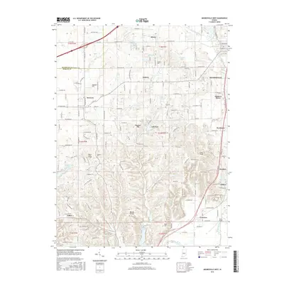
2016 Map of Mooresville West
USGS Topo · Published 2016About this map
White Lick Creek and its various tributaries, such as Sycamore Creek and Monical Br, define the drainage patterns of this Morgan County landscape. The 2016 terrain is dotted with small residential clusters and older named settlements like Monrovia and Brooklyn. Small private aviation hubs, including Pegasus Farms Airfield and Milhon Airport, are established alongside the growing subdivisions of Sundown Manor and Brookmoor.
Find a feature on this map
122 named features on this map. Tap any name to fly to it.
Don’t see what you’re looking for? This feature index may not catch every label — zoom into the map to look around manually.
Map Details
Editions of this 2016 Mooresville West Map
This is the sole edition of this map. No revisions or reprints were ever made.
Other maps of this area

1942 · Franklin
USGS Topo · 1:125,000

1953 · Bridgeport
USGS Topo · 1:24,000

1953 · Clayton
USGS Topo · 1:24,000

1953 · Plainfield
USGS Topo · 1:24,000

1953 · Indianapolis
USGS Topo · 1:250,000

1955 · Hall
USGS Topo · 1:24,000

1955 · Cope
USGS Topo · 1:24,000

1955 · Mooresville West
USGS Topo · 1:24,000

1955 · Martinsville
USGS Topo · 1:24,000

1955 · Mooresville East
USGS Topo · 1:24,000