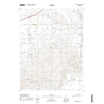
2019 Map of Mooresville West
USGS Topo · Published 2019About this map
White Lick Friends Cem and the surrounding farmland near Mooresville reflect a long-standing Quaker heritage in northern Morgan County. This landscape is defined by the transition from the rolling uplands of Maxwell Hill and Keller Hill down toward the wide valley of the White River in the southeast. Small historic nodes like Monrovia and Gasburg sit along established transit corridors, while the presence of Pegasus Farms Airfield and Milhon Airport illustrates the continued importance of private aviation in rural Indiana. The drainage network of White Lick Creek and its many tributaries, including McCracken Creek and Dry Fork, provides the natural framework for the area's development. Local history is further preserved in sites such as Highland Cem and the waters of Saint Mary-of-the-Woods Lake, documenting the community's evolution over decades.
Find a feature on this map
97 named features on this map. Tap any name to fly to it.
Don’t see what you’re looking for? This feature index may not catch every label — zoom into the map to look around manually.
Map Details
Editions of this 2019 Mooresville West Map
This is the sole edition of this map. No revisions or reprints were ever made.
Other maps of this area

1942 · Franklin
USGS Topo · 1:125,000

1953 · Bridgeport
USGS Topo · 1:24,000

1953 · Clayton
USGS Topo · 1:24,000

1953 · Plainfield
USGS Topo · 1:24,000

1953 · Indianapolis
USGS Topo · 1:250,000

1955 · Hall
USGS Topo · 1:24,000

1955 · Cope
USGS Topo · 1:24,000

1955 · Mooresville West
USGS Topo · 1:24,000

1955 · Martinsville
USGS Topo · 1:24,000

1955 · Mooresville East
USGS Topo · 1:24,000