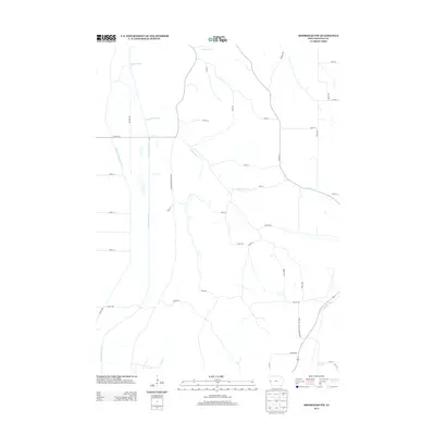
2013 Map of Moorhead NW
USGS Topo · Published 2013About this map
Preparation Canyon State Park dominates the southeastern corner of this quadrangle, preserving a portion of the western Iowa landscape where the Loess Hills begin to drop toward the river valleys. The small settlement of Preparation sits adjacent to the park, a location with deep roots in local pioneer history. The western section of the map is defined by the managed hydrology of the Little Sioux River and the Monona Harrison Ditch, which run parallel through the flat alluvial plain. This area shows a distinct contrast between the straightened drainage channels of the bottomlands and the winding natural courses of Cottonwood Creek and Beaver Creek as they descend from the higher ground. Modern infrastructure is represented by the grid of county roads and Larpenteur Memorial Rd, providing a clear view of how rural land ownership and transportation have adapted to the unique topography of Monona County.
Find a feature on this map
38 named features on this map. Tap any name to fly to it.
Don’t see what you’re looking for? This feature index may not catch every label — zoom into the map to look around manually.
Map Details
Editions of this 2013 Moorhead NW Map
This is the sole edition of this map. No revisions or reprints were ever made.
Other maps of this area

1954 · Omaha
USGS Topo · 1:250,000

1954 · Fort Dodge
USGS Topo · 1:250,000

1955 · Sioux City
USGS Topo · 1:250,000

1955 · Fremont
USGS Topo · 1:250,000

1957 · Fremont
USGS Topo · 1:250,000

1957 · Omaha
USGS Topo · 1:250,000

1957 · Fort Dodge
USGS Topo · 1:250,000

1958 · Sioux City
USGS Topo · 1:250,000

1958 · Omaha
USGS Topo · 1:250,000

1958 · Fremont
USGS Topo · 1:250,000