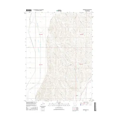
2015 Map of Moorhead NW
USGS Topo · Published 2015About this map
The Little Sioux River and the Soldier River define the alluvial landscape of Monona County in this mid-2010s survey. The terrain transitions from the wide, flat valley floor of the Little Sioux, modified by the Monona-Harrison Ditch, into the loess hills to the east. These steep ridges are home to Bethesda Cem and Preparation Canyon Cem, reflecting the early settlement patterns of the region. The map captures a sophisticated network of rural roads such as Larpenteur Memorial Rd and Orange Blvd that navigate the varied topography. Water drainage remains a central feature of the area, with Beaver Cr and Hall Cr carving paths through the rolling uplands, illustrating the long-standing efforts to manage the fertile but complex Missouri River valley borderlands.
Find a feature on this map
37 named features on this map. Tap any name to fly to it.
Don’t see what you’re looking for? This feature index may not catch every label — zoom into the map to look around manually.
Map Details
Editions of this 2015 Moorhead NW Map
This is the sole edition of this map. No revisions or reprints were ever made.
Other maps of this area

1954 · Omaha
USGS Topo · 1:250,000

1954 · Fort Dodge
USGS Topo · 1:250,000

1955 · Sioux City
USGS Topo · 1:250,000

1955 · Fremont
USGS Topo · 1:250,000

1957 · Fremont
USGS Topo · 1:250,000

1957 · Omaha
USGS Topo · 1:250,000

1957 · Fort Dodge
USGS Topo · 1:250,000

1958 · Sioux City
USGS Topo · 1:250,000

1958 · Omaha
USGS Topo · 1:250,000

1958 · Fremont
USGS Topo · 1:250,000