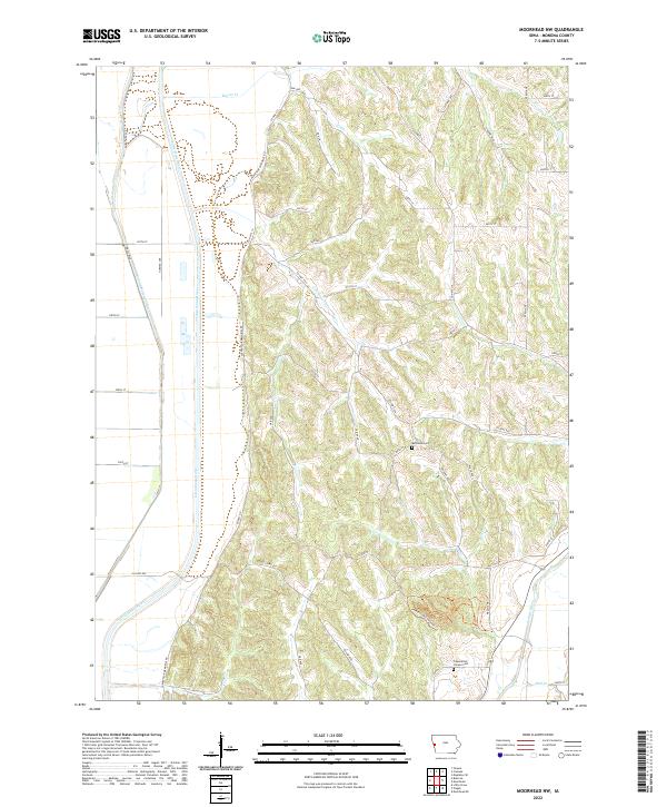
2022 Map of Moorhead NW
USGS Topo · Published 2022About this map
The Little Sioux River meanders through the western half of this Monona County landscape, mirrored by the engineered path of the Monona Harrison Ditch. This low-lying alluvial plain transitions sharply into a series of deeply dissected Loess Hills to the east, where a dense network of ridges and ravines is drained by Cottonwood Cr and Beaver Cr. This transition from the flat Missouri River floodplain to the high upland ridges defines the region's agricultural and road patterns.
Find a feature on this map
44 named features on this map. Tap any name to fly to it.
Don’t see what you’re looking for? This feature index may not catch every label — zoom into the map to look around manually.
Map Details
Editions of this 2022 Moorhead NW Map
This is the sole edition of this map. No revisions or reprints were ever made.
Other maps of this area

1954 · Omaha
USGS Topo · 1:250,000

1954 · Fort Dodge
USGS Topo · 1:250,000

1955 · Sioux City
USGS Topo · 1:250,000

1955 · Fremont
USGS Topo · 1:250,000

1957 · Fremont
USGS Topo · 1:250,000

1957 · Omaha
USGS Topo · 1:250,000

1957 · Fort Dodge
USGS Topo · 1:250,000

1958 · Sioux City
USGS Topo · 1:250,000

1958 · Omaha
USGS Topo · 1:250,000

1958 · Fremont
USGS Topo · 1:250,000