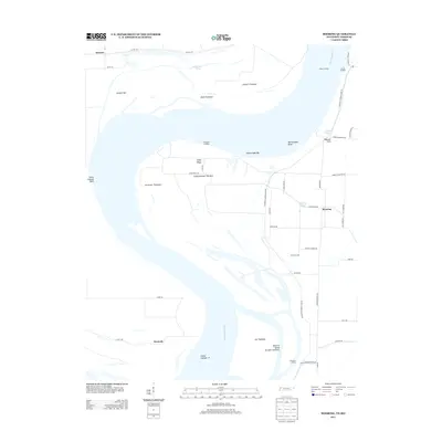
2013 Map of Mooring
USGS Topo · Published 2013About this map
Mississippi River dynamics define the landscape of this 2013 survey, where the shifting waters have created a complex network of bars, towheads, and landings along the Tennessee and Missouri border. The settlement of Mooring sits inland from the main channel, connected to the river via Mooring Bayou and a grid of local routes like Baptist Church Rd and Sheep Ridge Rd. This area reflects a long history of river-based commerce and flood management, evidenced by the prominent Tiptonville-Obion Levee Rd and numerous historical river access points including Riley Landing, Burrus Landing, and Crenshaw Landing. Large river features such as Island Number 14 and Island Number Thirteen dominate the channel, while landforms like Sheep Ridge and Peacock Field indicate the agricultural utilization of the fertile bottomlands between the levees and the active riverbanks.
Find a feature on this map
50 named features on this map. Tap any name to fly to it.
Don’t see what you’re looking for? This feature index may not catch every label — zoom into the map to look around manually.
Map Details
Editions of this 2013 Mooring Map
This is the sole edition of this map. No revisions or reprints were ever made.
Other maps of this area

1925 · Reelfoot Lake
USGS Topo · 1:62,500

1939 · Reelfoot Lake
USGS Topo · 1:62,500

1939 · Portageville
USGS Topo · 1:62,500

1939 · Dyersburg
USGS Topo · 1:62,500

1939 · Caruthersville
USGS Topo · 1:62,500

1951 · Caruthersville
USGS Topo · 1:62,500

1952 · Miston
USGS Topo · 1:24,000

1955 · Portageville
USGS Topo · 1:62,500

1956 · Reelfoot Lake
USGS Topo · 1:62,500

1956 · Dyersburg
USGS Topo · 1:250,000