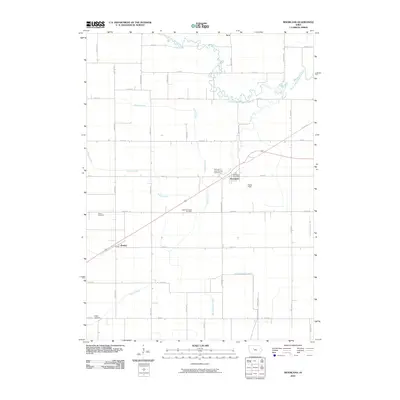
2010 Map of Moorland
USGS Topo · Published 2010About this map
Moorland serves as a central hub in this section of Webster County, situated at a junction where the town’s grid meets the Moorland Post Office. The surrounding landscape is defined by the heavy channelization and drainage requirements of Iowa agricultural land, evidenced by the presence of Ditch Number 96 and the winding courses of South Branch Lizard Creek and Prairie Creek. Small settlements like Roelyn and Tara anchor different corners of the township, while several distinct burial grounds, including Fulton Township Cemetery and Our Lady of Good Council Cemetery, provide specific points of interest for genealogical research.
Find a feature on this map
38 named features on this map. Tap any name to fly to it.
Don’t see what you’re looking for? This feature index may not catch every label — zoom into the map to look around manually.
Map Details
Editions of this 2010 Moorland Map
This is the sole edition of this map. No revisions or reprints were ever made.
Other maps of this area

1923 · Lehigh
USGS Topo · 1:62,500

1923 · Fort Dodge
USGS Topo · 1:62,500

1954 · Fort Dodge
USGS Topo · 1:250,000

1957 · Fort Dodge
USGS Topo · 1:250,000

1958 · Fort Dodge
USGS Topo · 1:250,000

1965 · Moorland
USGS Topo · 1:24,000

1965 · Farnhamville
USGS Topo · 1:24,000

1965 · Fort Dodge South
USGS Topo · 1:24,000

1965 · Knierim
USGS Topo · 1:24,000

1965 · Gowrie
USGS Topo · 1:24,000