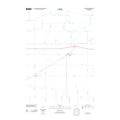
2013 Map of Moorland
USGS Topo · Published 2013About this map
The town of Moorland sits at a critical junction of local transportation and water management in southwest Webster County. Located south of S Br Lizard Cr, the landscape is defined by its transition from natural waterways to the engineered drainage systems essential for Iowa agriculture. The area includes the smaller settlement of Roelyn to the southwest, connected by a grid of rural avenues like Carter Ave and Dakota Ave.
Find a feature on this map
40 named features on this map. Tap any name to fly to it.
Don’t see what you’re looking for? This feature index may not catch every label — zoom into the map to look around manually.
Map Details
Editions of this 2013 Moorland Map
This is the sole edition of this map. No revisions or reprints were ever made.
Other maps of this area

1923 · Lehigh
USGS Topo · 1:62,500

1923 · Fort Dodge
USGS Topo · 1:62,500

1954 · Fort Dodge
USGS Topo · 1:250,000

1957 · Fort Dodge
USGS Topo · 1:250,000

1958 · Fort Dodge
USGS Topo · 1:250,000

1965 · Moorland
USGS Topo · 1:24,000

1965 · Farnhamville
USGS Topo · 1:24,000

1965 · Fort Dodge South
USGS Topo · 1:24,000

1965 · Knierim
USGS Topo · 1:24,000

1965 · Gowrie
USGS Topo · 1:24,000