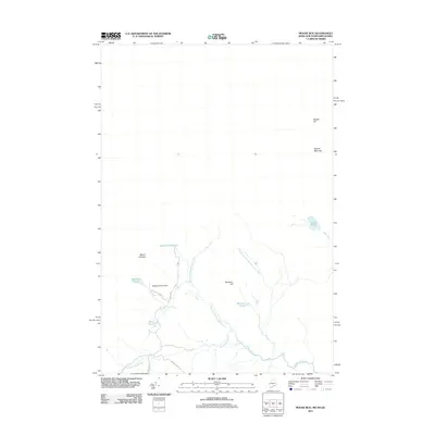
2011 Map of Moose Bog
USGS Topo · Published 2011About this map
West Branch Magalloway River and its numerous tributaries dominate this remote corner of the New Hampshire and Maine border region. The landscape is defined by its water systems and significant elevations, featuring peaks like Mount D'Urban, Marble Mountain, and Saddle Hill. Near the confluence of several mountain streams, Mountain Pond Dam regulates local waters, while seasonal and forest access routes like Boundary Pond Rd and E Inlet Rd provide the only significant pathways through the dense forest. This survey captures a moment of modern land management in the northern wilderness, showing the distribution of smaller bodies of water such as Rhubarb Pond, Barker Pond, and the Bowman Ponds that serve as vital landmarks in an otherwise challenging and unpopulated terrain.
Find a feature on this map
18 named features on this map. Tap any name to fly to it.
Don’t see what you’re looking for? This feature index may not catch every label — zoom into the map to look around manually.
Map Details
Editions of this 2011 Moose Bog Map
This is the sole edition of this map. No revisions or reprints were ever made.
Other maps of this area

1927 · Moose Bog
USGS Topo · 1:48,000

1927 · Second Lake
USGS Topo · 1:62,500

1931 · Cupsuptic
USGS Topo · 1:48,000

1931 · Moose Bog
USGS Topo · 1:62,500

1932 · Second Lake
USGS Topo · 1:62,500

1932 · Arnold Pond
USGS Topo · 1:48,000

1934 · Cupsuptic
USGS Topo · 1:62,500

1935 · Cupsuptic
USGS Topo · 1:62,500

1935 · Arnold Pond
USGS Topo · 1:62,500

1949 · Jackman
USGS Topo · 1:250,000