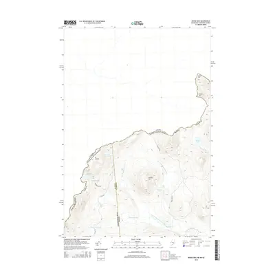
2014 Map of Moose Bog
USGS Topo · Published 2014About this map
The international border between the Canada United States of America and the state lines of Maine and New Hampshire converge in this high-elevation wilderness. The landscape is defined by the headwaters of the Magalloway River, with the West Branch Magalloway River and the Third E Br Magalloway River draining the rugged slopes of Mt D'Urban and Bowman Hill. Remote ponds are scattered throughout the terrain, including Boundary Pond and Rhubarb Pond, while the namesake Moose Bog occupies the low-lying wetlands alongside Moose Bog Brook. A few essential logging and access routes like Boundary Pond Rd and Magalloway Rd provide the only passage through this sparsely developed frontier where Coos County meets Oxford County.
Find a feature on this map
26 named features on this map. Tap any name to fly to it.
Don’t see what you’re looking for? This feature index may not catch every label — zoom into the map to look around manually.
Map Details
Editions of this 2014 Moose Bog Map
This is the sole edition of this map. No revisions or reprints were ever made.
Other maps of this area

1927 · Moose Bog
USGS Topo · 1:48,000

1927 · Second Lake
USGS Topo · 1:62,500

1931 · Cupsuptic
USGS Topo · 1:48,000

1931 · Moose Bog
USGS Topo · 1:62,500

1932 · Second Lake
USGS Topo · 1:62,500

1932 · Arnold Pond
USGS Topo · 1:48,000

1934 · Cupsuptic
USGS Topo · 1:62,500

1935 · Cupsuptic
USGS Topo · 1:62,500

1935 · Arnold Pond
USGS Topo · 1:62,500

1949 · Jackman
USGS Topo · 1:250,000