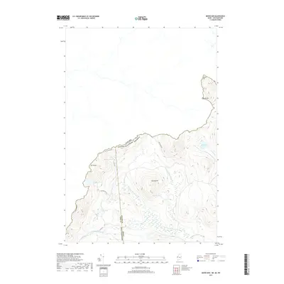
2018 Map of Moose Bog
USGS Topo · Published 2018About this map
The international border between New Hampshire, Maine, and Quebec defines this remote northern landscape, where the headwaters of the Magalloway River system originate. High elevations like Mt D'Urban, Saddle Hill, and Marble Mtn anchor the terrain, providing a dramatic backdrop for a dense network of water bodies. This area is characterized by isolated ponds such as Rhubarb Pond, Boundary Pond, and Snag Pond, which feed into the West Branch Magalloway River and the Third East Magalloway River.
Find a feature on this map
22 named features on this map. Tap any name to fly to it.
Don’t see what you’re looking for? This feature index may not catch every label — zoom into the map to look around manually.
Map Details
Editions of this 2018 Moose Bog Map
This is the sole edition of this map. No revisions or reprints were ever made.
Other maps of this area

1927 · Moose Bog
USGS Topo · 1:48,000

1927 · Second Lake
USGS Topo · 1:62,500

1931 · Cupsuptic
USGS Topo · 1:48,000

1931 · Moose Bog
USGS Topo · 1:62,500

1932 · Second Lake
USGS Topo · 1:62,500

1932 · Arnold Pond
USGS Topo · 1:48,000

1934 · Cupsuptic
USGS Topo · 1:62,500

1935 · Cupsuptic
USGS Topo · 1:62,500

1935 · Arnold Pond
USGS Topo · 1:62,500

1949 · Jackman
USGS Topo · 1:250,000